

BBC:
Preliminary investigations have pointed to a collapsed glacier as the cause of the flash flood on the Nepal-Tibet border, highlighting the issue of rapidly melting Himalayan ice, scientists have told the BBC.
Initial reports of an earthquake led many to believe that a tremor had caused a landslide, which in turn caused the flood that has killed at least 177 people.
However, the US Geological Survey then clarified that the disaster was caused by a “glacial collapse”, which is when a glacier or part of a glacier disintegrates.
The impact of the collapsed glacier hitting the bottom of a valley was so powerful that it registered a magnitude of 5.2, according to USGS data and scientists who have analysed the event.
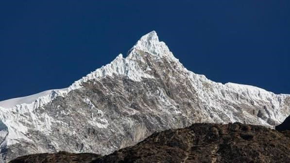
Dr Simon Cook, a glacier expert with the University of Dundee, told the BBC his team had detected that the lower part of a glacier in Nepal near the Langtang Lirung peak – which is approximately 15km (9 miles) west of the site of the floods – had collapsed.
He estimated that the glacier collapsed in a northwesterly direction and then travelled westwards downstream.
An analysis by the International Centre for Integrated Mountain Development (ICIMOD), an intergovernmental scientific institution, found there could have been “an ice-rock avalanche originating from a high-altitude area”.
This caused a “large volume of ice and rock debris” to enter the Lende Khola, a tributary of the Bhote Koshi river, which in turn generated a sudden surge in the river carrying water, sediment and large boulders downstream.
The centre found that water levels in rivers downstream rose between seven to nine metres within a span of 30 minutes, and several water monitoring stations were washed away or damaged.
The area is flanked by steep mountains, and videos of the flood show debris and water funnelled down the river at a rapid pace.


 Users Today :
  Users Yesterday :
  This Month :
  This Year :
  Total Users : 1386960
 Views Today :
  Total views : 5000
 Who's Online :